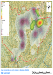
Haere mai, welcome to Hutt Water Collection Area
location_on Location Waterworks Road, Kaitoke, Upper Hutt
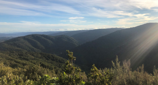
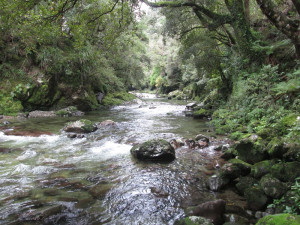
This remote water collection area offers a rugged wilderness area for experienced trampers. For those that are up to the challenge, there are some spectacular views and hunting experiences to be had.
Opening hours
6am till 6pm (1 April - 30 Sept) or 9pm (1 Oct - 31 March)
Activities
Activities
Description
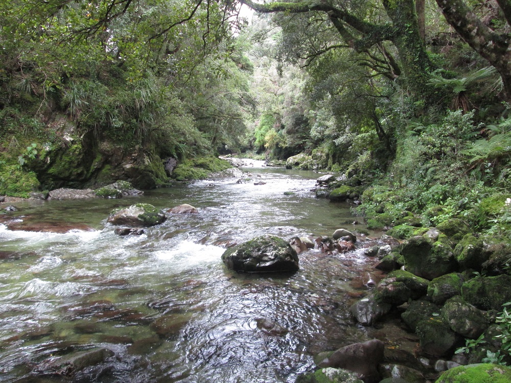
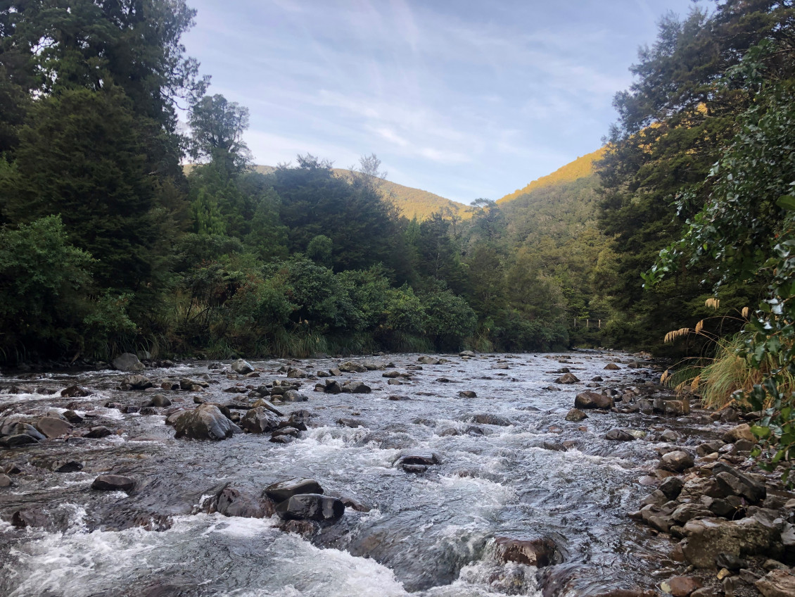
The 8900-hectare Hutt Water Collection Area takes in the headwaters of the Hutt River at the southern end of the Tararua Range. Half the water supply for the Wellington urban area comes from this catchment, drawn at the Kaitoke weir.
There are extensive areas of unmodified silver beech, red beech, and valley floor podocarp forest, alpine tussock lands, alpine wet turf and sub-alpine sphagnum bog. It is one of the few areas in the region containing southern rata, a species endangered by possum browsing. The forest is home to a great variety of indigenous forest birds, including the rare kaka, kakariki and NZ falcon (karearea).
Greater Wellington manages the Hutt Water Collection Area carefully to protect water quality, controlling possums and other animal pests to protect the rich variety of plant, fish, insect and bird species that make up the forest ecosystem. We use vegetation plots, exclosure areas and animal abundance plots to monitor vegetation response and animal numbers in the area. Photo points provide a record of vegetation changes at specific sites.
Know before you go
- Dogs are not permitted in the Water Collection Area unless accompanying someone with a hunting permit
- There are no facilities in the water collection area and is very exposed to the north-west and south. It has a reputation for high winds, fog, and sudden weather changes. Rivers and streams can rise very rapidly in heavy rain
- Fires are prohibited
- Staying overnight is not permitted
Only experienced back country users should enter the area as there are few formed tracks or marked routes. For your safety and to prevent unnecessary searches please:
- Take a topographic map (NZ Topo 50 BP33) and compass
- Be prepared for sudden weather changes and for strong winds on the hill-tops. Always carry enough warm clothes and rainwear for cold conditions
- Check weather forecasts on Metservice before leaving and take ample high energy food for your trip
- Do not attempt to cross flooded streams. Be prepared to wait if conditions become dangerous
- Let someone know your intended route, party size and return time. Always contact this person on your return
- Read and understand the Land Safety Code
Caring for the water supply
To preserve the forest and protect our water supply from contamination and infectious diseases, please do not enter the catchment if you have had diarrhoea in the past two weeks.
- Keep out of the area between Hutt Forks and the Kaitoke weir
- Keep rivers and streams clean. Bury toilet waste in a shallow hole well away from watercourses
- Light no fires. Take care with portable stoves, matches and cigarettes
- Remove rubbish. Carry out what you carry in
- Hunting is by permit only in the Water Collection Area. Apply online to get a 12 month hunting permit
- Foot access only. No motor vehicles, trail bikes or mountain bikes are allowed in the Water Collection Area
- No camping. Complete your trip into or through the catchment in one day
- Do not damage or remove plants. Do not disturb vegetation research plots and markers
Getting there
By bike
Plan your route from the Hutt River Trail or Hutt Valley train line with the Hutt Valley cycle map.
Hutt Valley Cycle Map 2021 | Ko te Mahere Pahikara o Te Awakairangi 2021
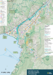
Bike network of the Greater Wellington region - Ko ngā ara Pahikara o Pōneke Nui Tonu Read more here

date_range Published 06 Apr 2022
Download now (PDF 14 MB) get_appBy car
You can get to the Hutt Water Collection Area via Kaitoke Regional Park, Waterworks Road entrance. Park in the first car park with the information booth and cross the street to the Ranger's office. Follow the track west from the Ranger's office. Cross the stile by the locked gate.
You can also enter the Hutt Water Collection Area from tracks in the Tararua Forest Park.
For more information, please contact the Kaitoke Regional Park ranger at kaitoke.ranger@gw.govt.nz.
Get in touch
- Phone:
- 0800496734
- Email:
- info@gw.govt.nz

