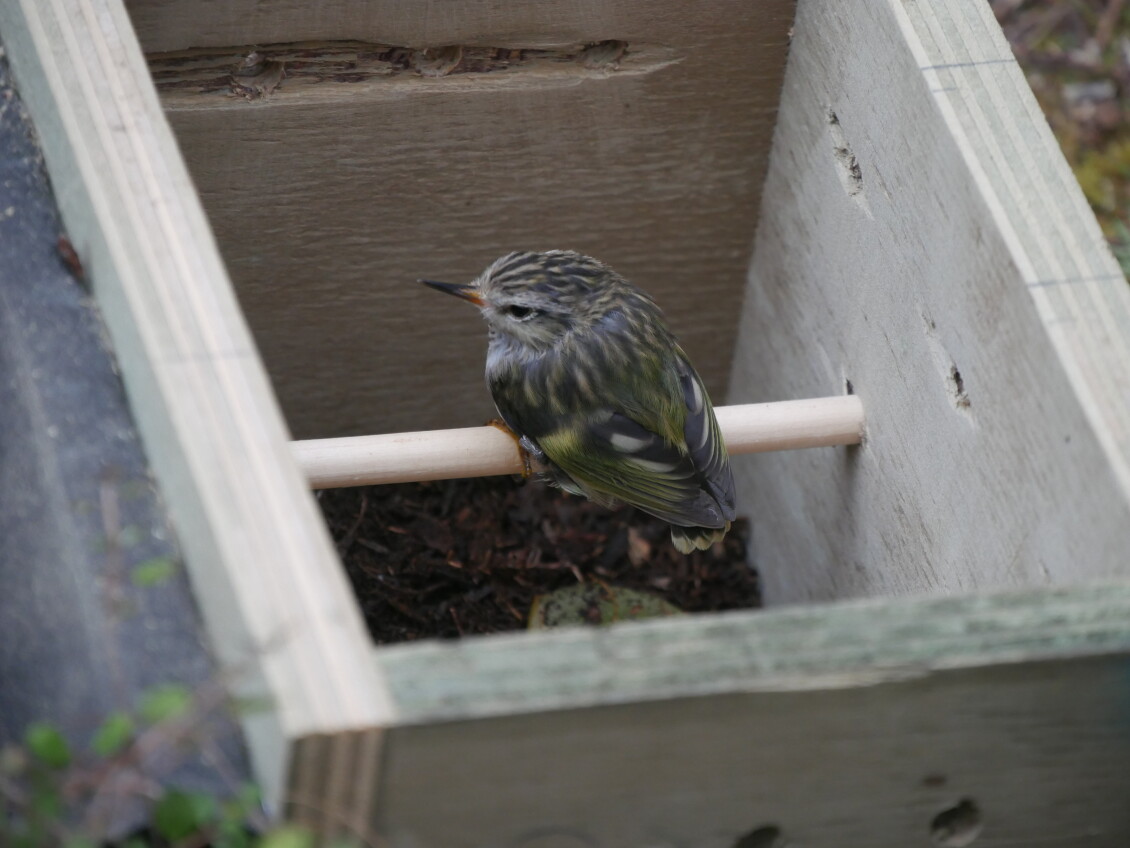
It’s hoped a population of about 25 tītipounamu/rifleman, translocated to Waterfall Road Bush near Paraparaumu, will fill a tītipounamu-sized hole in the ecosystem and spread to other important ecological areas…
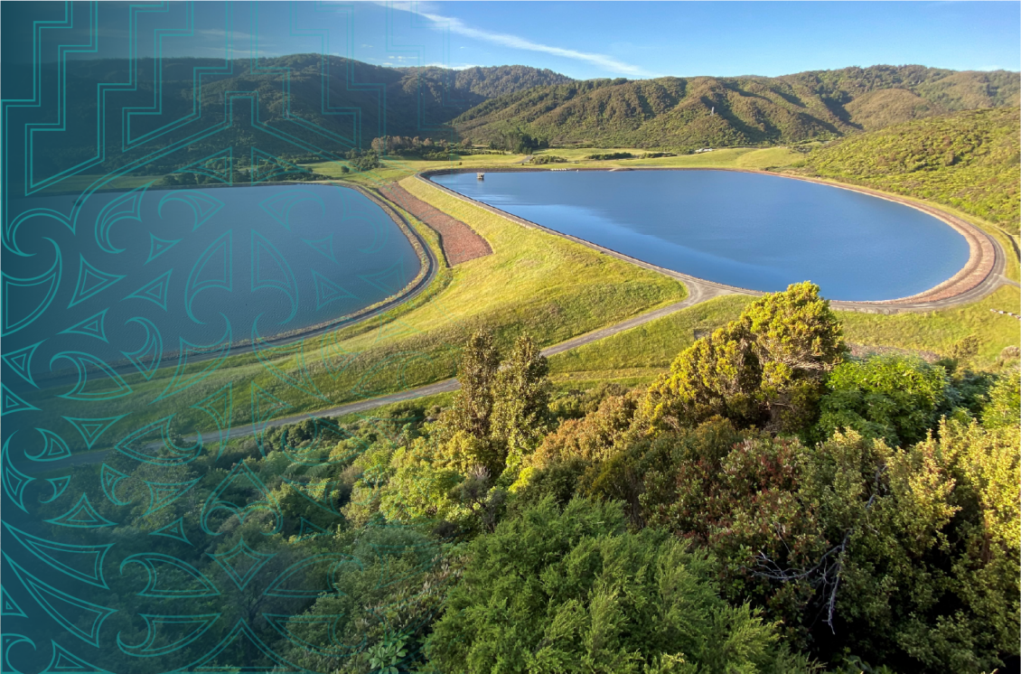
Data collected by an aerial electromagnetic survey of the Ruamāhanga Valley floor is now available to the public via an online mapping tool, which can virtually explore potential aquifers to depths of 300 metres underground.
A helicopter was used to fly SkyTEM technology over the Ruamāhanga Valley in early 2023, assessing how the underlying geology responded to a mild electrical current. After two years of processing and analysing the collected data with Earth Sciences New Zealand (formerly known as GNS Science), Greater Wellington is launching a 3D interactive map of the Ruamāhanga Valley subsurface.
The project is funded by Greater Wellington, Kānoa Regional Development and Investment Unit, Carterton District Council, Masterton District Council and South Wairarapa District Council.
The SkyTEM technology has significantly expanded the understanding of what’s below the surface of the valley says Greater Wellington’s Manager for Knowledge, Dr Evan Harrison.
“This model enables us to better understand potential groundwater resources in the Ruamāhanga Valley, which along with further investigations will support us in making sustainable water management decisions,” says Dr Harrison.
“The model enables us to ‘see’ underground to depths of 300 metres and identify potential aquifers, which are layers of gravel or sand that hold or transport groundwater. This is not a map to new water sources, but it does identify areas that we can investigate further for groundwater.
“Until now, we’ve relied on drilling boreholes to gather geological data, which provides detailed information but only in specific locations.”
Greater Wellington’s Director for Knowledge & Insights, Dave Hipkins, says landowners and others can now use the online map, which allows users to create virtual wells or cross sections anywhere in the survey area.
“This tool enables us to continue responsible water management in the Ruamāhanga Valley, providing knowledge for a more resilient future of Wairarapa’s groundwater.
“We suggest that landowners draw on expertise of technical experts to interpret the outputs from the models to inform further investigations, modelling, technical and planning assessments required for consent applications to ensure our precious natural resources continue to be fairly allocated.”
The data provides fundamental insights to improve the future of Wairarapa’s resources says chair of the Wairarapa Water Resilience governance group, Cr David Holmes of Masterton District Council.
“Knowledge is key to successfully building water resilience in our region,” says Cr Holmes.
“The Wairarapa Water Resilience Strategy is built on an inclusive approach to this problem; one that benefits everyone. Wairarapa residents now being able to access this data empowers them to make informed and robust decisions.”
It’s hoped a population of about 25 tītipounamu/rifleman, translocated to Waterfall Road Bush near Paraparaumu, will fill a tītipounamu-sized hole in the ecosystem and spread to other important ecological areas…

Greater Wellington is urging the Government to strengthen the Natural Environment and Planning Bills, warning that – without vital amendments – the proposals risk weakening environmental safeguards, undermining Treaty obligations,…
Wairarapa locals are being called upon to help shape the future of the rivers in the Ruamāhanga catchment by applying to be part of one of three River Advisory Groups. The…