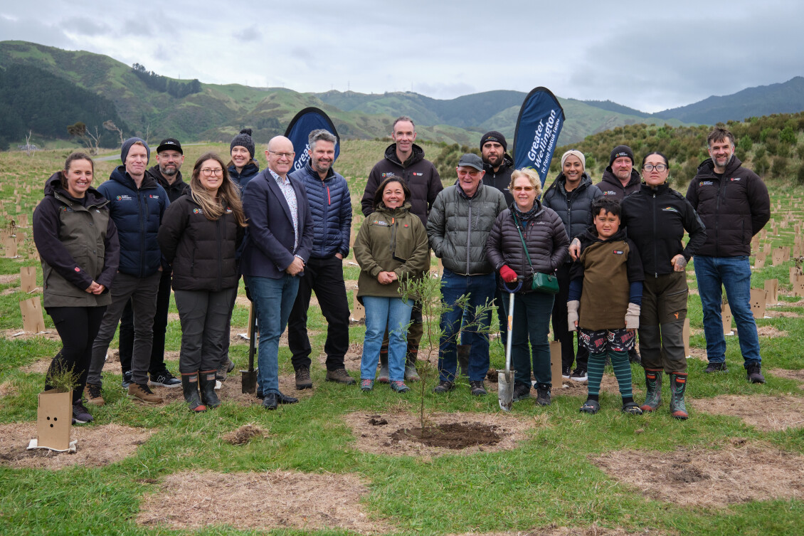
A million native trees have been planted in Greater Wellington regional parks, a milestone in efforts to reforest former grazing land through the council’s Recloaking Papatūānuku planting programme. Live on TVNZ…
When heavy rain and rising river levels make the news, people want to know what it means for them and how serious the situation could get. Recent weather events have shown us how quickly water levels can rise, damaging homes, bridges, and roads. Too much water is a problem, but so is too little, and Greater Wellington’s Monitoring and Water Resilience team oversees it all.
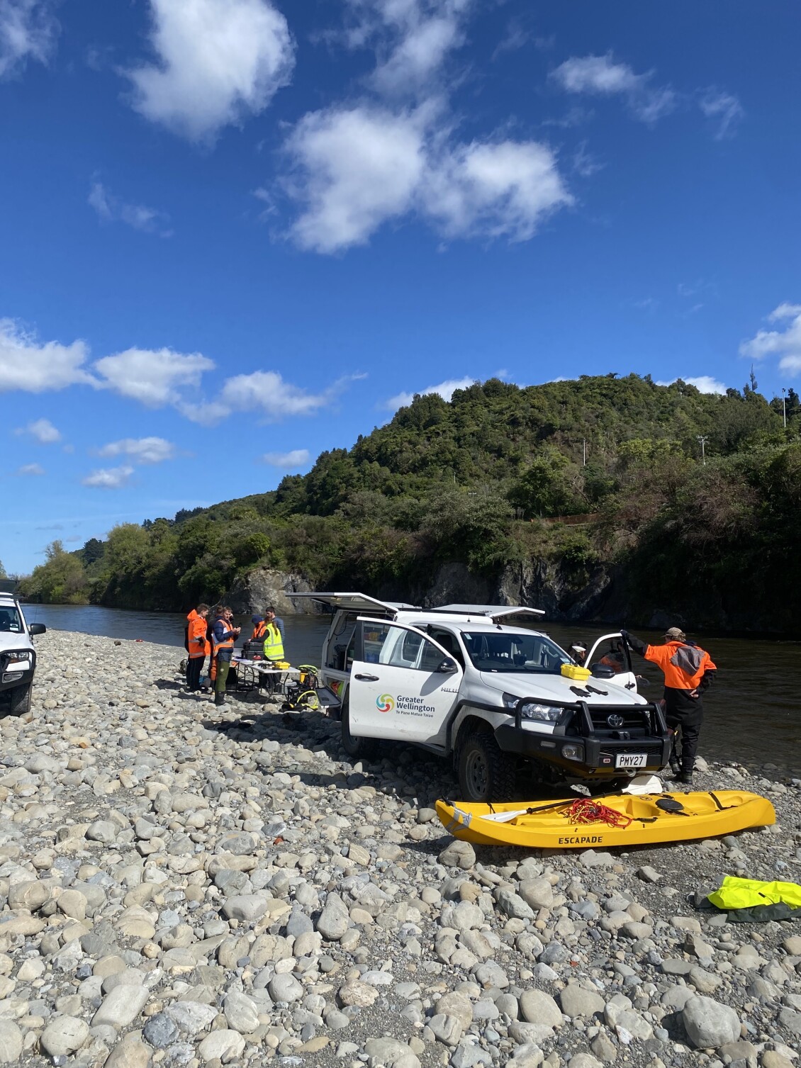
As a regional council, Greater Wellington is responsible for long-term hydrology monitoring. Our Monitoring and Water Resilience team look after more than 350 rainfall, groundwater and river monitoring sites across the Wellington region. They measure things like how many millimetres of rain have fallen, how high a river is, what level an aquifer is sitting at and how much water is flowing downstream. The sites send data back in near real time, so the team can spot rapid changes and share reliable updates with the people who need to act quickly.
The team also monitors water supply in the Ōrongorongo, Wainuiomata, and Kaitoke catchments, as well as river and groundwater bore supplies in Kāpiti. This helps build a clear picture of conditions that can affect drinking water supply, especially during and after big weather events, or in times of drought.
When a storm is on its way, the team switches into response mode. Monitoring sites trigger alerts when rainfall or river levels reach set points. Flood duty staff then share that information with emergency managers and other response teams, so they can make timely calls about warnings, road and bridge closures, and where to focus support.
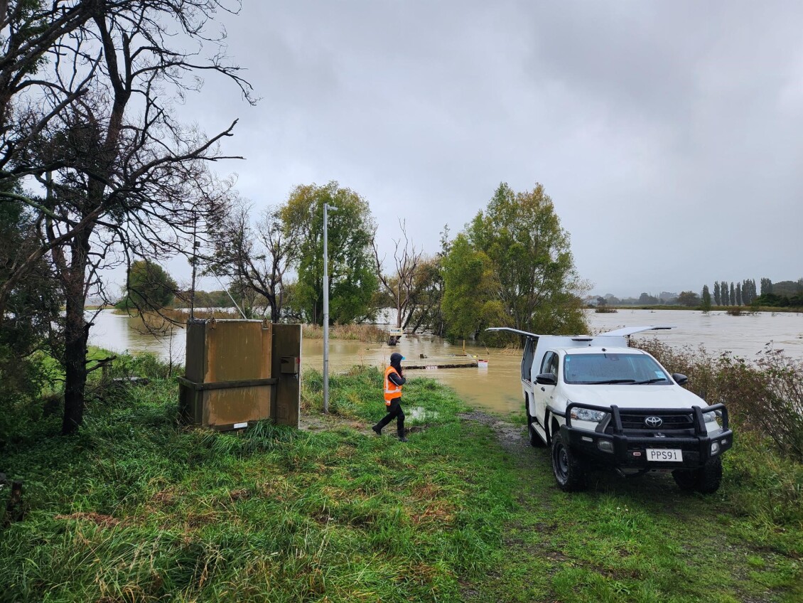
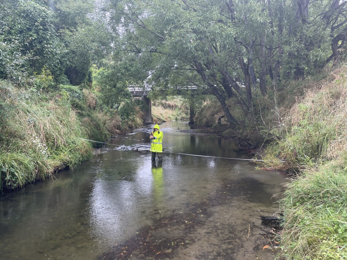
The team also heads out to check sites and measure flood flows when it is safe to do so. During floods, staff often can’t wade into the water, so they use equipment that lets them measure from a bridge, cableway, or from the riverbank. They can also use remote-controlled survey gear and video footage to estimate how fast the water is moving, then combine that with depth information to work out how much water is flowing.
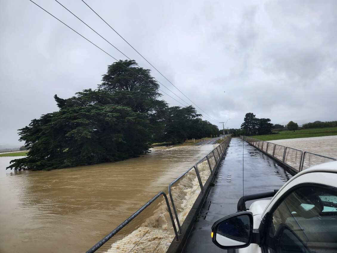
During the April weather event, Greater Wellington staff sprang into action across the region. On Te Awa Kairangi / Hutt River at Taitā Gorge, the team captured a high-flow measurement using equipment lowered from a cableway. The river peaked at 475 cubic metres per second (cumecs) at 10:30 pm on Monday 20 April.
In Wairarapa, the team measured flood flows at key bridges and river sites, including places where access was limited. In those cases, they used safer options like cableways and drone footage to help estimate how fast the water was moving.
At Waihenga Bridge on the Ruamāhanga River, water levels rose to about 5.2 metres and the bridge was closed. Because access was restricted, the team used a drone to capture video of the fast-moving water so they could safely estimate flows.
After an event, the team checks the data and compares it with long-term records to understand how it compares to events our region has seen before. One standout was the rain gauge at Emerson Street in Berhampore, right where significant and damaging flooding happened. It recorded an extraordinary 85.9 mm of rain in just one hour on Monday 24 April, which is above a 1-in-200-year rainfall event for that location.
Further north, the Pāuatahanui Stream reached its highest level ever recorded at 5.3 m (83 cubic metres per second (m3/s)) on Saturday 18 April. The cableway here was hit by a loose boat still attached to its trailer. Records like this help Greater Wellington improve how rivers are monitored and how the region plans for future storms.
You can explore live rainfall and river information on our Environmental Data Dashboard: Live Data Viewer | Environmental Data Dashboard
A million native trees have been planted in Greater Wellington regional parks, a milestone in efforts to reforest former grazing land through the council’s Recloaking Papatūānuku planting programme. Live on TVNZ…
Voting has now opened in the Greater Wellington Regional Council Wairarapa General Constituency by-election following the extraordinary vacancy created by the death of Councillor Adrienne Staples. Voting documents are being delivered…
A new fish ramp in southern Wairarapa is helping native species move more freely through a local waterway, while contributing to a wider Greater Wellington programme focused on strengthening flood…